About Sumbawanga
Cluster
The Sumbawanga Cluster is one of AGCOT Centre’s strategic agricultural clusters, established to facilitate inclusive agricultural transformation by fostering collaboration among public and private sector stakeholders. The cluster serves as a platform for coordinating investment, strengthening value chains, and supporting sustainable agricultural development across the south-western highlands of Tanzania.
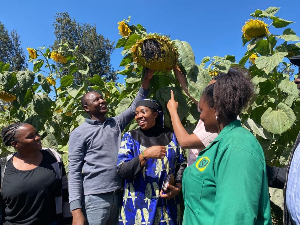
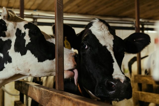
Located across Sumbawanga and Nkasi districts in Rukwa and Katavi Regions, the cluster holds the largest arable land reserve of any AGCOT cluster, supported by deep, highly productive clay and sandy soils and a cool-to-temperate highland climate. Through coordinated partnerships, the cluster aims to expand production of wheat, maize, sunflower, beans, soybeans, horticulture and beef cattle, raise farmer incomes, and create employment opportunities, particularly for women and youth.

1. Cluster Profile
- Location: Sumbawanga and Nkasi districts, in Rukwa and Katavi.
- Total area: 1,738,460 hectares.
2. Natural Resources, Climate and Agriculture
- Arable land: 972,020 hectares — the largest arable reserve of any cluster.
- Land under cultivation: 460,046 hectares.
- Soils: deep, highly productive clay and sandy soils.
- Altitude: 800–2,300 metres; cold to temperate climate.
- Rainfall: unimodal, 600–1,200 mm.
3. Key Value Chains
Wheat, Maize, Sunflower, Beans, Soybeans, Horticulture, Beef cattle.
4. Stakeholder Engagement
Wildlife Conservation Society, working with local councils on village land survey and planning.
5. Achievements / Existing Interventions
- Working with the Wildlife Conservation Society and local councils to survey and plan village land.
- Establishing buffer zones near national parks to reduce human–wildlife conflict.
- Allocating dedicated commercial blocks for the Building a Better Tomorrow youth initiative.
1. Cluster Profile
- Location: Sumbawanga and Nkasi districts, in Rukwa and Katavi.
- Total area: 1,738,460 hectares.
2. Natural Resources, Climate and Agriculture
- Arable land: 972,020 hectares — the largest arable reserve of any cluster.
- Land under cultivation: 460,046 hectares.
- Soils: deep, highly productive clay and sandy soils.
- Altitude: 800–2,300 metres; cold to temperate climate.
- Rainfall: unimodal, 600–1,200 mm.
3. Key Value Chains
Wheat, Maize, Sunflower, Beans, Soybeans, Horticulture, Beef cattle.
4. Stakeholder Engagement
Wildlife Conservation Society, working with local councils on village land survey and planning.
5. Achievements / Existing Interventions
- Working with the Wildlife Conservation Society and local councils to survey and plan village land.
- Establishing buffer zones near national parks to reduce human–wildlife conflict.
- Allocating dedicated commercial blocks for the Building a Better Tomorrow youth initiative.
- Your cart is empty Browse Shop
Connect with AGCOT to learn more about our agricultural transformation initiatives
- Image
- SKU
- Rating
- Price
- Stock
- Availability
- Add to cart
- Description
- Content
- Weight
- Dimensions
- Additional information